Aero
Elevate your perspective with cinematic aerial visuals and precision LiDAR scanning for unmatched project insights.
Elevate your perspective with cinematic aerial visuals and precision LiDAR scanning for unmatched project insights.
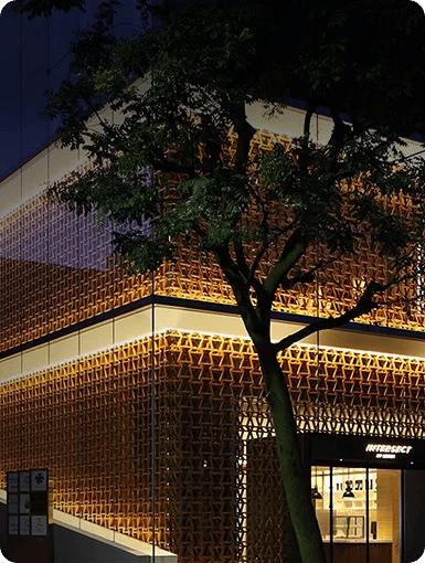
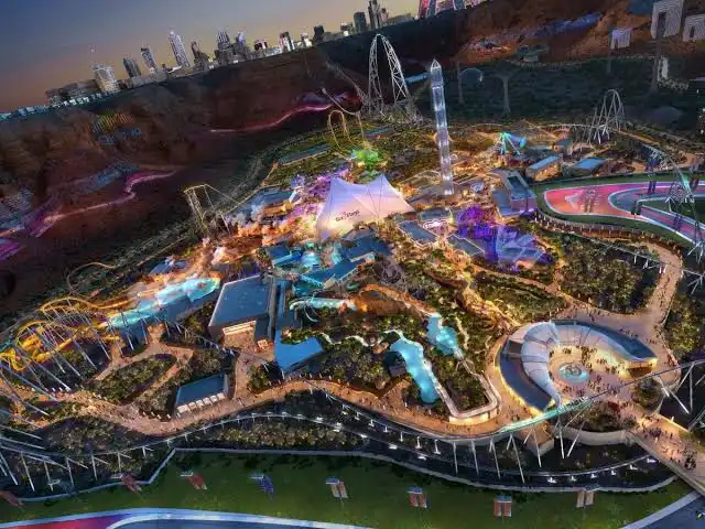
Aero is our high-resolution drone videography, aerial photography, and LIDAR scans service. With Aero you get an immersive and data-rich view of your project. From sweeping cinematic flyovers to pinpoint-accurate terrain models, we help you document, survey, and showcase like never before.

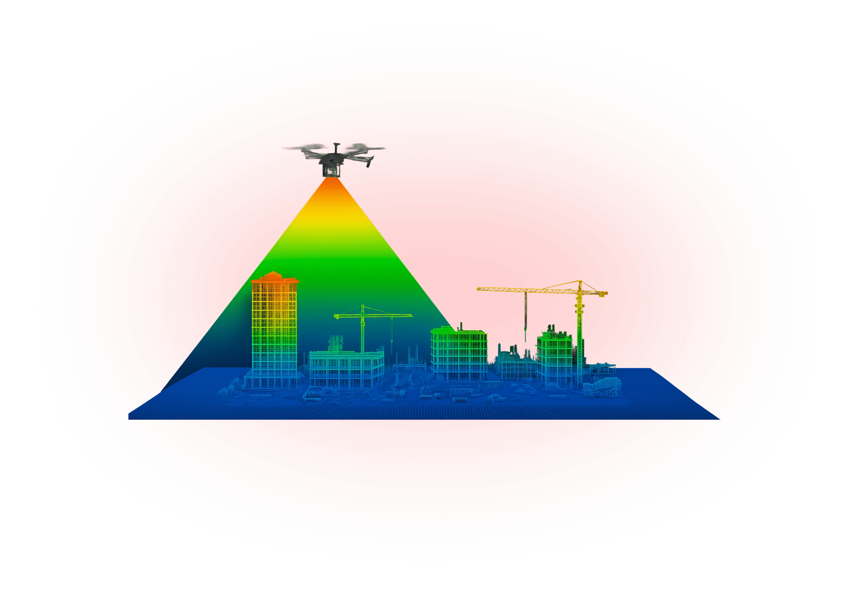
Flight paths and scanning zones are planned with precision and safety.

Drones equipped with 8K, FPV, or LiDAR technology conduct visual or spatial data capture.

Footage and point clouds are stitched, color-graded, and refined.

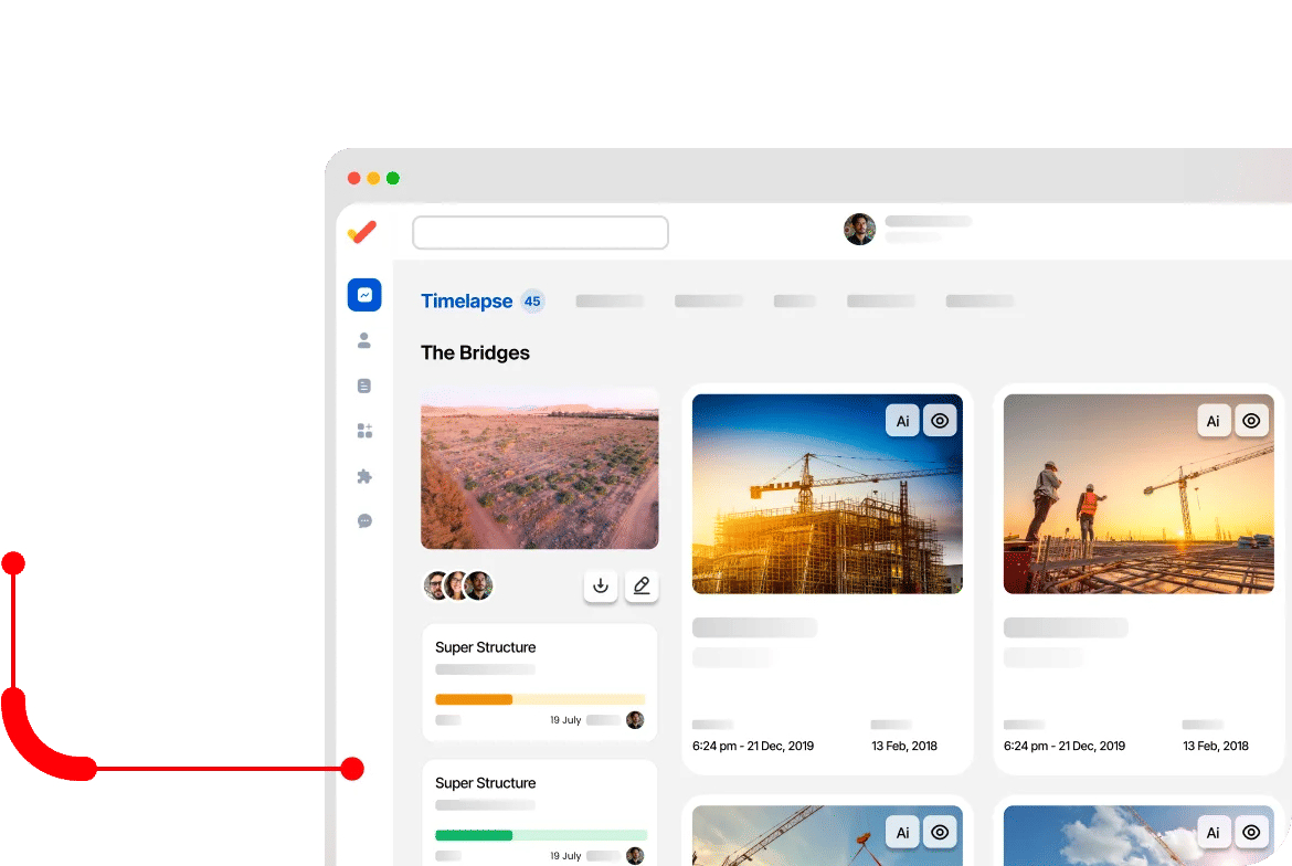
Final files and scans are delivered via secure cloud access.

Data and visuals are compatible with your BIM/GIS platforms.
 Ultra High-Resolution Footage (Up to 8K)
 Fully Licensed Drone Pilots
 Backup Redundancy on Every Mission
 Real-Time Project Showcase & Updates
 LIDAR for Survey-Grade Mapping
 Scalable Fleet for Any Terrain or Project Type


 3.5 Inch Indoors Ducted FPV Drone
GoPro HERO12 BLACK + ND Filters
20x Batteries
Charging Station, Backup Drone
Drone Pilot
3.5 Inch Indoors Ducted FPV Drone
GoPro HERO12 BLACK + ND Filters
20x Batteries
Charging Station, Backup Drone
Drone Pilot
Get stunning aerial visuals and accurate LiDAR scans with Aero.